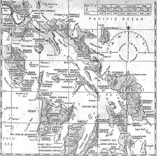
1944 pilot's aerial map of Leyte, Mindoro and Luzon, Philippine Islands
[Map c/o Warren Fowler]
Back to
October 1944 - Part 1
Next to October 1944 - Part 2